Quick facts about Tajikistan:
- Population: Approximately 9.5 million people.
- Official language: Tajik.
- Capital: Dushanbe.
- Currency: Tajikistani somoni.
- Government: Republic with a presidential system.
- Major religion: Islam.
- Geography: Landlocked country in Central Asia, bordered by Afghanistan, Uzbekistan, Kyrgyzstan, and China.
Fact 1: About 90% of Tajikistan is mountainous
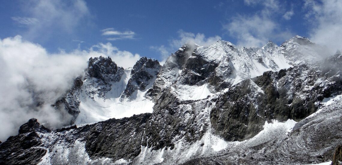
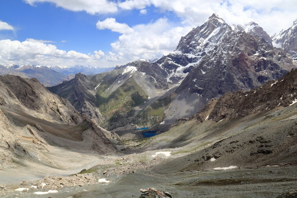
Tajikistan is predominantly mountainous, with approximately 90% of its territory covered by mountains. Furthermore, about half of the country’s landmass is situated above 3,000 meters (9,800 feet) above sea level. This rugged topography is characterized by the towering peaks of the Pamir and Alay mountain ranges, earning Tajikistan the nickname “the Roof of the World.” The mountainous terrain has a significant impact on the country’s climate, biodiversity, and cultural heritage, making it a fascinating destination for adventurers, nature enthusiasts, and cultural explorers alike.
Fact 2: The name of the capital translates to Monday
The name is derived from the Persian word “du” meaning “two” and “shanbe” meaning “day.” Legend has it that the city was originally a small village that only held a market on Mondays. Over time, the village grew into a city, and the name “Dushanbe” stuck, reflecting its humble origins as a market town. Why is the second day on Monday? This is how it is considered in the Islamic world – Sunday is the first day of the week and Saturday is the last.
Dushanbe, the capital of Tajikistan, originated as a small market village along the Silk Road. It grew during the late 19th and early 20th centuries under Russian Empire rule and expanded further during Soviet times, becoming an industrial and administrative center. After Tajikistan gained independence in 1991, Dushanbe became the capital and continued to develop, blending Soviet-era structures with modern amenities. Today, it serves as the political, economic, and cultural hub of Tajikistan.
Fact 3: In Tajikistan there is a lake named after Alexander the Great
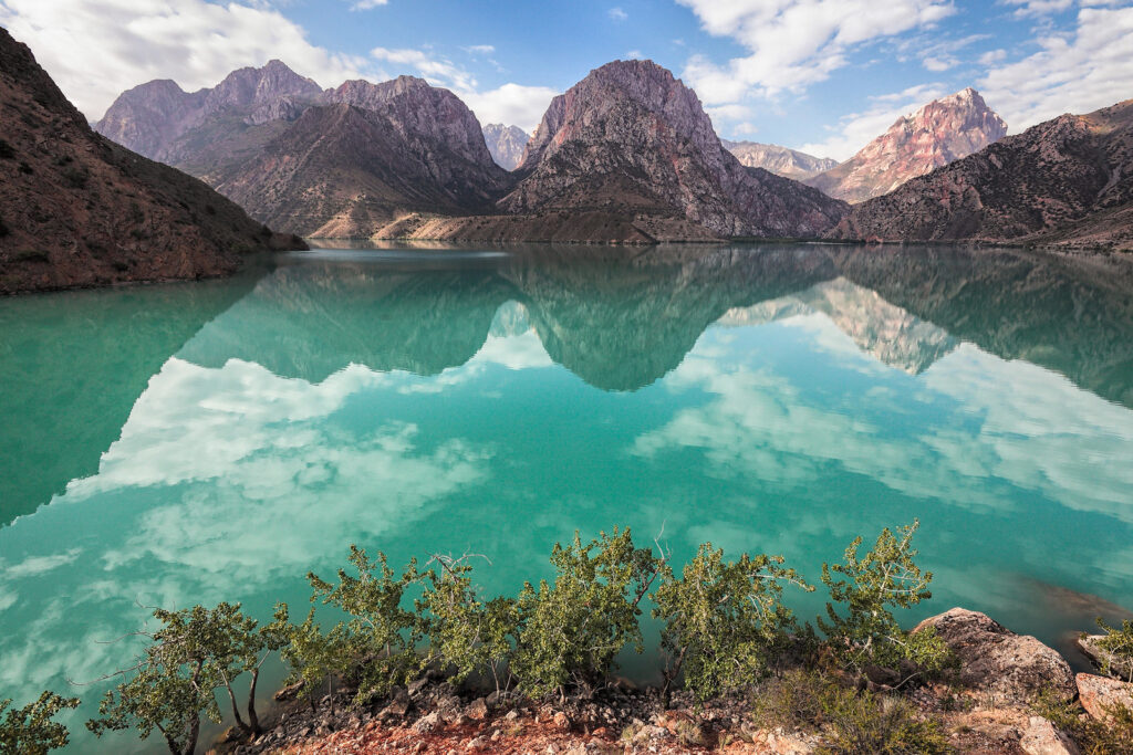
In Tajikistan, there is a lake named Iskanderkul, which translates to “Alexander’s Lake” in English. Legend has it that Alexander the Great, the ancient Greek conqueror, passed through the region during his military campaigns in Central Asia, and the lake was named in his honor. Iskanderkul is located in the Fann Mountains, offering breathtaking scenery and serving as a popular destination for tourists and outdoor enthusiasts.
Fact 4: Tajikistan has the second highest dam
Tajikistan’s Nurek Dam, completed in 1980, is the second tallest dam in the world at about 300 meters (984 feet). It plays a critical role in hydropower generation and irrigation in the region.
Construction has also begun on the Rogun Dam, which, when completed, is expected to surpass the Nurek Dam in height. The Rogun Dam is projected to be about 335 meters (1,099 feet) high, making it the tallest dam ever built. Once operational, it is expected to further increase Tajikistan’s hydropower capacity and contribute to regional development.
Fact 5: Also, Tajikistan has the second highest road in the world
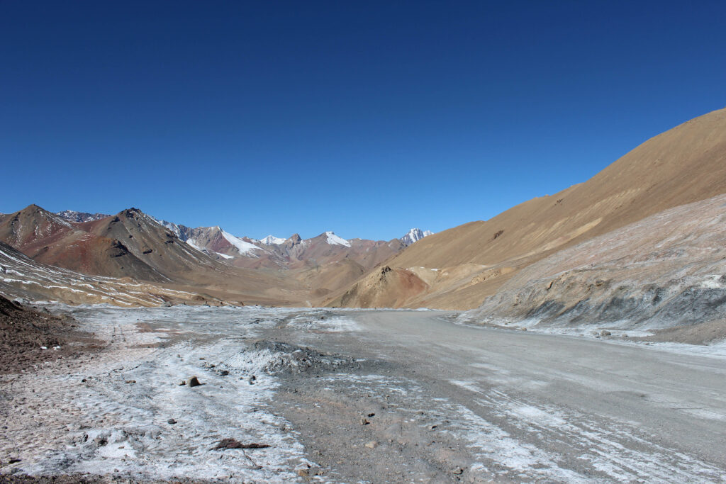
Tajikistan is home to the Pamir Highway, also known as the M41, which is the second highest international road in the world. The highway traverses the Pamir Mountains, offering stunning mountain vistas and crossing numerous high-altitude passes.
One of the most notable sections of the Pamir Highway is the Ak-Baital Pass, which sits at an elevation of approximately 4,655 meters (15,270 feet) above sea level. This makes it one of the highest vehicular passes in the world, second only to the nearby Khunjerab Pass on the China-Pakistan border. The Pamir Highway serves as a vital transportation route connecting Tajikistan with neighboring countries such as Kyrgyzstan, Afghanistan, and China.
Note: If you plan to visit the country, check if you need an International Driver’s License in Tajikistan to drive.
Fact 6: There are devastating earthquakes in Tajikistan
Tajikistan is located in a seismically active region, and devastating earthquakes have occurred in the country’s history. Due to its location along the boundary of the Eurasian and Indian tectonic plates, Tajikistan experiences frequent seismic activity, making it prone to earthquakes.
One of the most devastating earthquakes in Tajikistan’s recent history occurred on July 10, 1949. Known as the Khait earthquake, it had a magnitude of 7.5 and caused widespread destruction, particularly in the eastern part of the country. Thousands of people lost their lives, and many villages were severely damaged or destroyed.
More recently, on December 7, 2015, a powerful earthquake with a magnitude of 7.2 struck southwestern Tajikistan, near the border with Afghanistan. The earthquake caused significant damage to buildings and infrastructure in the affected area, resulting in casualties and displacements.
Fact 7: Tajikistan has almost 1000 rivers
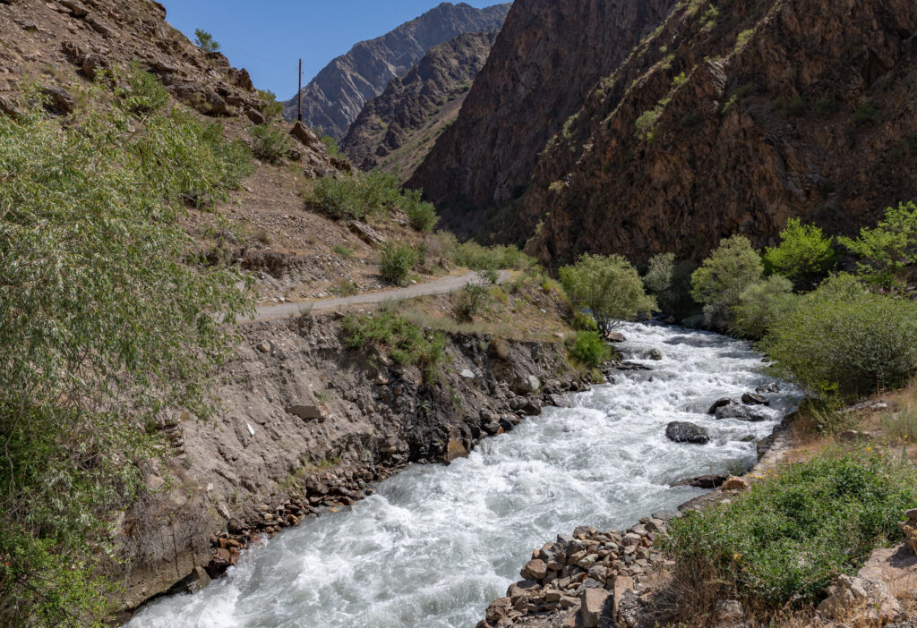
Tajikistan is crisscrossed by numerous rivers, making it a water-rich country in Central Asia. While the exact number may vary slightly depending on the classification criteria, Tajikistan is estimated to have close to 1,000 rivers flowing through its territory.
These rivers originate from the country’s mountainous terrain, particularly the Pamir and Alay mountain ranges, and are fed by glaciers, snowmelt, and precipitation. The most significant river in Tajikistan is the Amu Darya, which forms part of the country’s southern border and plays a crucial role in its irrigation systems and agriculture.
Other notable rivers in Tajikistan include the Vakhsh, Panj, Kofarnihon, and Zarafshon rivers, among many others. These rivers not only provide water for drinking, agriculture, and hydropower generation but also contribute to the country’s stunning natural landscapes and biodiversity.
Fact 8: Receipts from abroad are a significant share of a country’s income
Remittances from Tajikistanis working abroad constitute a substantial portion of the country’s income, contributing significantly to its economy. In recent years, remittances have accounted for approximately 25% to 35% of Tajikistan’s GDP, making them a vital source of foreign currency inflows. Tajikistan has a large diaspora, with many Tajikistani citizens working in Russia, Kazakhstan, and other countries as migrant workers. These funds play a crucial role in supporting households, reducing poverty, and stimulating economic activity.
Fact 9: There is a mountain of salt in Tajikistan
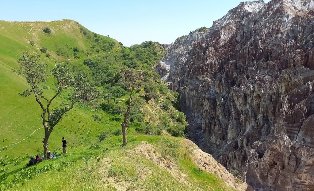
Tajikistan is home to the Sarikol Salt Mountain, also known as the Yagnob Salt Mountain. Located in the remote region of the Yagnob Valley, this natural wonder is one of the largest salt deposits in Central Asia. The mountain is composed entirely of salt and has been formed over millions of years through geological processes.
The Sarikol Salt Mountain is a significant geological and cultural landmark in Tajikistan, attracting visitors and researchers alike. The salt extracted from the mountain has been used for various purposes throughout history, including culinary, medicinal, and industrial uses.
Fact 10: In ancient times Tajikistan was one of the centers of Buddhism
The region was part of the greater Buddhist cultural sphere that stretched across the Silk Road, connecting the Indian subcontinent with East and Central Asia.
Tajikistan’s strategic location along the Silk Road facilitated the spread of Buddhism into the region, with numerous Buddhist monasteries, stupas, and artifacts found throughout the area. Scholars believe that Buddhism flourished in Tajikistan, especially in the regions bordering present-day Afghanistan and Uzbekistan.
The ancient city of Penjikent, located in modern-day Tajikistan, was one of the major centers of Buddhism in the region. Excavations at Penjikent have revealed Buddhist temples, sculptures, and artifacts, providing valuable insights into the spread and practice of Buddhism in Central Asia during ancient times.
However, with the rise of Islam in the region from the 7th century onwards, Buddhism gradually declined in Tajikistan, eventually becoming a minority religion.

Published March 16, 2024 • 7m to read

